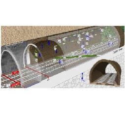
Topographical Surveying Solutions
Our Topographical Division create highly accurate, complete topographical surveys using the latest Leica Robotic Total Stations and SmartNet GPS systems. Specialist post processing applications enable drawings to be shown with contours and spot levels, allowing us to produce results in two and three-dimensions.Visit the Datum Monitoring Services Limited website for more information on Topographical Surveying Solutions


